




Digital Tree Census Geotagging Portal Released
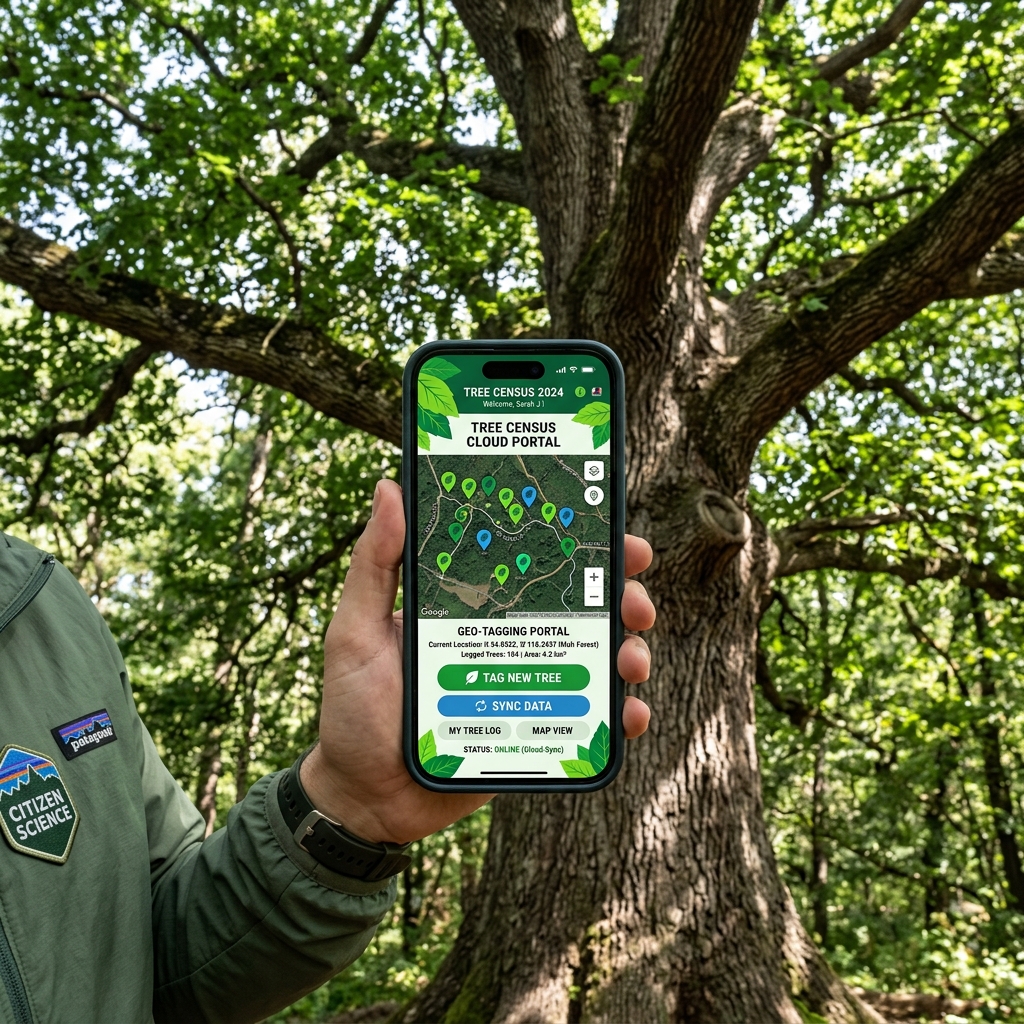
Our technology division has launched the Digital Tree Census Portal. This innovative solution allows citizen volunteers to geotag trees, log health assessments, and identify zones in urgent need of afforestation.
"Technology is a vital ally in modern conservation. Geotagging allows us to monitor tree growth dynamically, map heat islands, and plan focused afforestation with razor-sharp precision."
Empowering Citizen Science
Users can upload images of local trees, pin their exact GPS coordinates, and specify the tree species. This data directly aids the government and our foresters in tracking urban forest cover changes.
Through continuous crowdsourced digital logs, Paryavaran Aayog intends to publish annual green dashboard reports for urban cities, creating massive transparency in developmental canopy impact.
How to Use the Portal:
- Visit our cloud tree census page on your smart device.
- Click 'Tag Tree' and snap a clear picture of the trunk and leaves.
- Confirm your GPS location using the automatic geolocation pins.
- Select the species name (e.g. Neem, Mango) or upload for forester verification.
- Enter any notes on tree health or soil wetness, then submit.
Utilizing AI Species Detection
The geotagging portal has been integrated with standard AI visual detection models. When volunteers upload images of leaves or bark, the portal immediately analyzes the image and suggests the correct botanical and local names (e.g. Ficus religiosa / Peepal), reducing standard entry errors by up to 94%.
Tree Geotagging: Frequently Asked Questions (FAQ)
Q1: Can we geotag trees inside private backyard gardens?
Yes, urban canopy maps include all local trees. However, privacy metrics ensure that private residential addresses are masked on the public green dashboard.
Q2: How is the uploaded health score verified?
Our forestry department checks tagged records that display indicators of disease or termite damage, dispatching free pest-control guides to the tagged coordinates.
Mapping Urban Heat Islands
By gathering thousands of tagged trees, our data engines generate thermal maps of cities, highlighting concrete-heavy zones that desperately need green belts. The data is shared with municipal development wings to direct monsoon sapling distribution.
Latest Articles
 हमारा एक छोटा सा संकल्प, आने वाली पीढ़ियों के लिए एक सुरक्षित
हमारा एक छोटा सा संकल्प, आने वाली पीढ़ियों के लिए एक सुरक्षित और हरा-भरा भविष्य सुनिश्चित कर सकता है।
05 Jun 2026
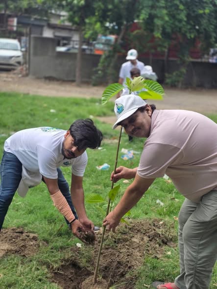 हर पौधा, एक नई सांस; हर संकल्प, एक सुरक्षित कल!
पर्यावरण आयोग द्वारा विश्व पर्यावरण दिवस पर हरियाणा में जन-जागरूकता अभियान और पौधरोपण।
05 Jun 2026
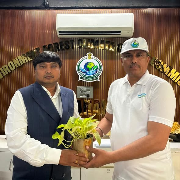 समर्पण का सम्मान, पर्यावरण संरक्षण की दिशा में एकजुट प्रयास!
पर्यावरण जलवायु परिवर्तन आयोग के राष्ट्रीय अध्यक्ष श्री शैलेश गर्ग जी द्वारा समर्पित सदस्यों का सम्मान।
05 Jun 2026
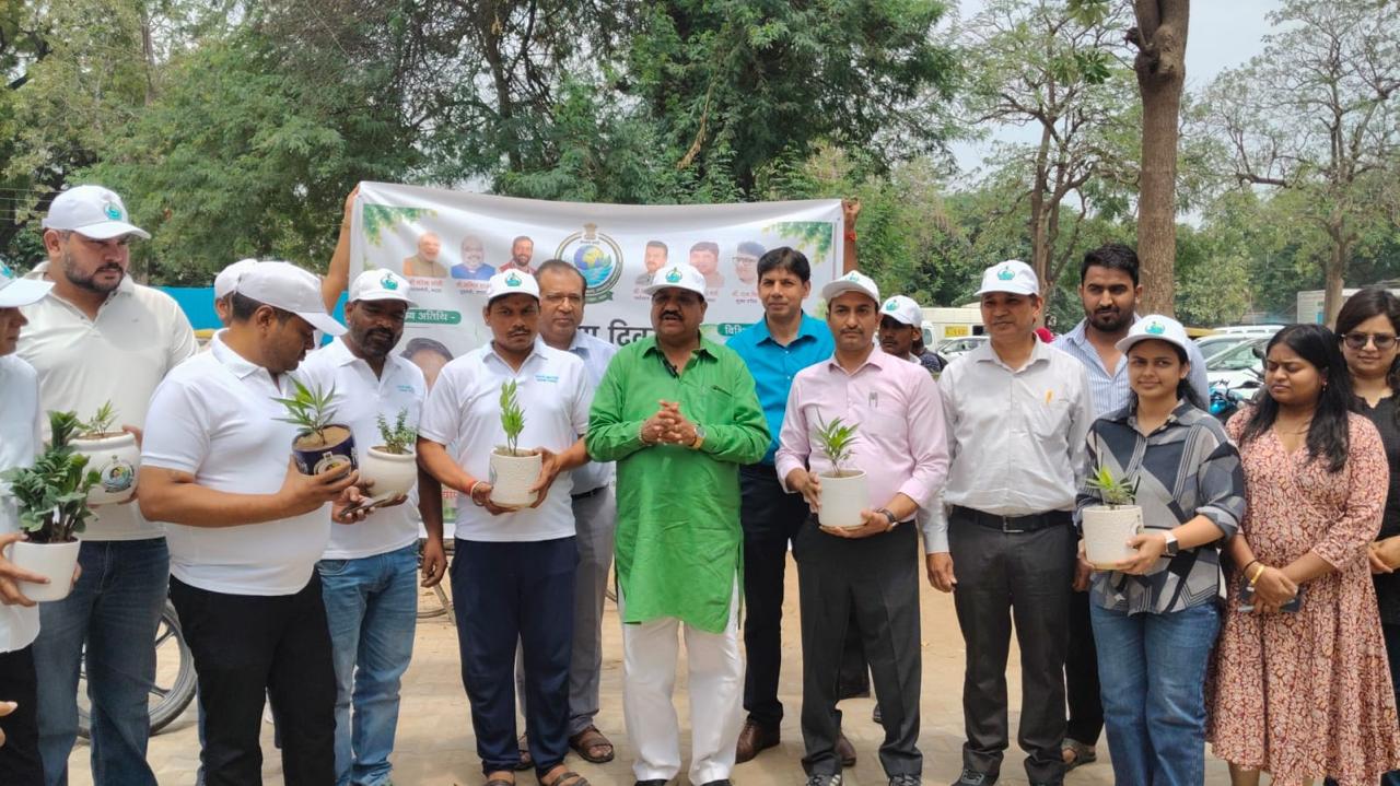 हरियाणा पर्यावरण आयोग द्वारा विश्व पर्यावरण दिवस पर “एक पौधा देश के नाम” अभियान के तहत 350 प्लांटर वितरित
फरीदाबाद, 5 जून। विश्व पर्यावरण दिवस के अवसर पर हरियाणा पर्यावरण आयोग द्वारा बी.के. अस्पताल, फरीदाबाद में “एक पौधा देश के नाम” अभियान के अंतर्गत भव्य कार्यक्रम का आयोजन किया गया।
05 Jun 2026
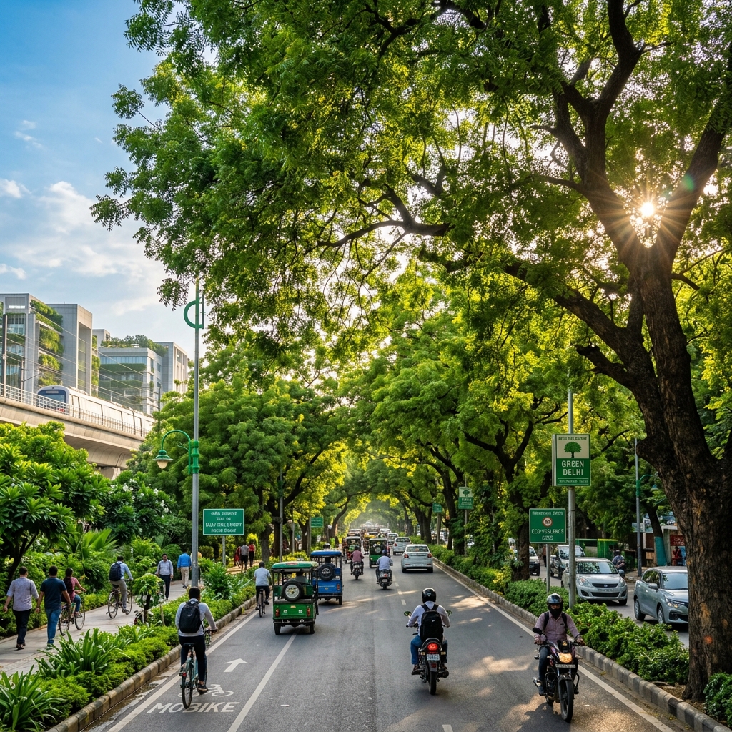 Delhi Tree Canopy & Protection Directives
Paryavaran Aayog issues comprehensive regulatory directives to protect and expand Delhi's green tree canopy under Article 48A.
20 May 2026
 National Environmental Vigilance Hubs Launched
We have successfully launched new state-level Environmental Vigilance Hubs across 5 states to report and action ecological violations.
15 May 2026